Aerial footage has gone from a luxury-listing extra to something buyers half expect. Real estate drone photography is searched more than almost any other property-media term, and drone add-ons are on nearly every photographer's price list. That does not mean every listing benefits. The useful question is not "should I get drone shots?" but "what can only be seen from the air?"
Aerials and interiors in one tour
Add your drone stills to the listing and siriusly.ai builds them into the property video alongside the interior photos - opening on the plot, then moving inside.
Try it freeWhen a Listing Needs a Drone
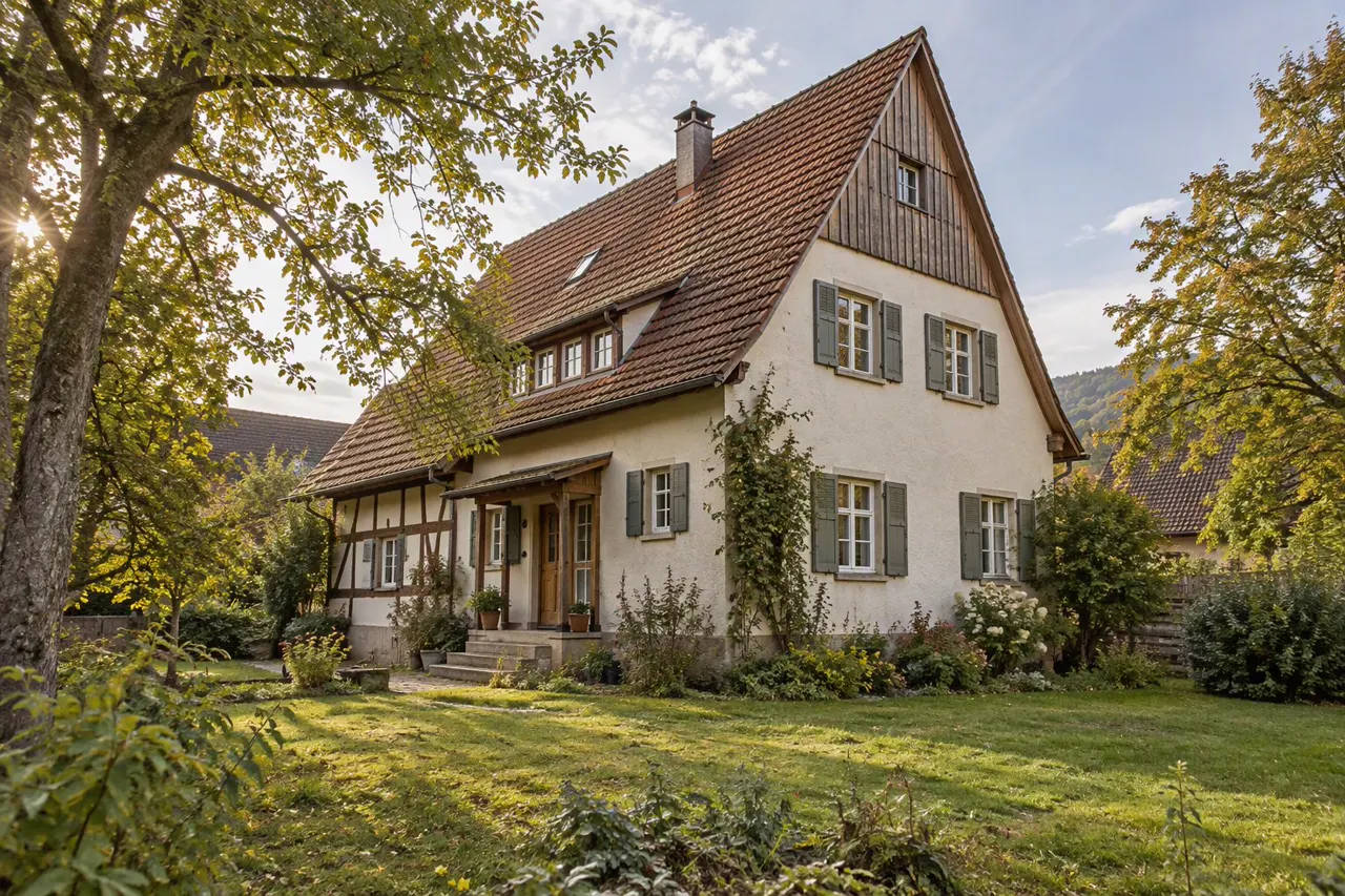
Worth it: detached houses with land or a large garden; waterfront, golf-course or view properties; rural and acreage listings; homes where the location is the selling point (near a beach, a park, a village centre); development plots and commercial sites.
Usually not: flats in a block, terraced houses on a busy street, small urban plots, and anything where the aerial would mostly show neighbouring roofs. A good ground-level exterior does more.
A quick test: stand at the front gate and ask what a buyer cannot see from there that they would want to know. If the answer is "the size of the garden" or "how close the lake is", fly. If it is "nothing much", spend the money on interior photos instead.
Five Aerial Shots That Earn Their Place
- The establishing reveal. Start low behind a tree line or the front hedge and rise until the house and plot come into view. This is the opening shot of most good property videos, and the one buyers remember.
- The plot overhead. A straight-down shot from 100 to 200 feet shows the boundaries, the garden layout and outbuildings more clearly than any description. Many agents overlay the boundary line.
- The three-quarter orbit. A slow arc around the house at roof height, from a front corner to a rear corner. It shows the building's shape and how it sits on the land.
- The context pull-back. Start on the house and fly backwards and up until the nearest landmark - the beach, the town, the school - is in frame. This answers "where is it?" in one move.
- The approach. Fly toward the front door at head height, as if arriving. In a video, this hands over naturally to the first interior shot.
How to Fly It Well
- Slow and continuous. The same rule as indoors: one smooth move per shot, no jerky corrections, no spinning. Fast fly-bys look like a hobby clip, not a listing.
- Lower than you think. Most real estate aerials work best between 30 and 150 feet. Higher than that and the house becomes a dot.
- Morning or late afternoon. Low sun gives shadows that show the shape of the land and the roof; midday sun flattens everything.
- Shoot stills too. A good drone still of the plot is often more useful than the footage - for the portal gallery, the brochure, and as an input to an edited or AI-generated video.
- Mind the neighbours. Frame out neighbouring gardens where you can, and never hover over them.
The Rules (US)
None of this is legal advice, and rules change, so check the FAA's own guidance before flying. The broad picture for the United States:
- Marketing a listing is commercial flying. Under the FAA's Part 107 rules, any flight that furthers a business counts, so the pilot needs a Remote Pilot Certificate. That applies even if the agent flies their own drone and does not charge for the footage.
- Getting certified means being at least 16 and passing the FAA's aeronautical knowledge test at an approved test centre.
- The drone must be registered and comply with Remote ID.
- Standard limits apply: generally below 400 feet above ground, within visual line of sight, and with restrictions over people and moving vehicles.
- Controlled airspace near airports and heliports needs authorization before flying, usually through the FAA's LAANC system. Many suburban listings sit in controlled airspace without anyone realising.
- Local rules sit on top. HOAs, parks and some municipalities restrict take-off or flights over their land, and privacy laws vary by state.
The common mistake: hiring the cheapest drone operator without asking for their Part 107 certificate and insurance. If something goes wrong, the agent who booked the flight is in the conversation too.
Outside the US, most countries have an equivalent: in the UK and EU, commercial flights fall under the CAA and EASA drone categories, with operator registration and pilot competency requirements.
What Real Estate Drone Photography Costs
Published 2026 pricing is fairly consistent:
| Package | Typical US price |
|---|---|
| Drone add-on to a photo shoot (5 to 10 aerial stills) | about $100 to $250 |
| Aerial video add-on to a listing video | about $250 to $500 |
| Standalone drone shoot, stills and video | about $300 to $700 |
| Large land, luxury or commercial aerial package | $1,000+ |
Prices rise in major metro areas, for rush turnaround and where airspace authorization is needed. The cheapest way to use a drone is usually as an add-on to the photo shoot you are already booking: the photographer is on site anyway, and five good aerial stills are often all a listing needs.
Drone Shots in a Property Video
Aerials are the outside of the story; the interiors are the inside. In a short listing video, one or two aerial shots are enough - usually the reveal at the start and, optionally, the context pull-back at the end. More than that, and the video spends its best seconds on sky.
A 30-second tour with aerials
0 to 4s: drone reveal of the house and plot.
4 to 7s: approach to the front door.
7 to 25s: the interior, in viewing order.
25 to 30s: garden from ground level, or the aerial pull-back to the neighbourhood.
FAQs
Do I need a license to fly a drone for my own listings?
In the US, yes. Flying to market a listing is commercial use under Part 107, whether or not you are paid for the footage.
Can I use drone stills instead of footage?
Yes, and for many listings stills are enough. They work in the portal gallery, and a property video can be built from them alongside the interior photos.
Does every listing need aerial shots?
No. Flats, terraced houses and small urban plots rarely benefit; a strong ground-level exterior photo does the job.
What about twilight drone shots?
They look striking on high-end listings, but a dusk flight is harder to schedule and to fly legally and safely. A daytime aerial edited to dusk is a common alternative; see our guide to real estate photo editing.